Through Wednesday, the Lehigh Valley will be covered by a warm, humid air mass that will raise temperatures into the upper 80s and even the low 90s and increase the likelihood of isolated thunderstorms.
Temperatures will continue to be warm, according to the National Weather Service prediction, with highs of 87 to 90 degrees on Tuesday and Wednesday.
There will be a noticeable increase in humidity, with dew points rising into the low 70s and heat index readings perhaps reaching the low to mid 90s.
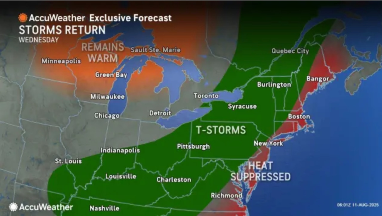
The likelihood of thunderstorms is expected to rise on Wednesday afternoon and evening, with the possibility of significant rainfall.
With precipitable water levels close to two inches, there may be a considerable amount of precipitation.
Residents should keep an eye on local forecasts and be ready for any lightning and quick, heavy rains, even though there are currently no severe thunderstorm warnings in effect.
On Thursday, a cold front is predicted to pass over the area, bringing with it a brief drop in temperature and humidity. Temperatures will be a little lower on Friday, with highs in the upper 80s and less humidity.
It appears that the weekend will be mostly dry, with Sunday seeing a slow increase in temperature.
It is recommended that residents drink enough of water, look for air-conditioned areas during the hottest afternoon hours, and be mindful of the possibility of short thunderstorms during the week. Being adaptable to any weather changes is important when engaging in outdoor activities, especially on Wednesday afternoons.
An early draft of this story was created using generative AI and modified and vetted by the crew of lehighvalleylive.com.